 Extreme weather events are becoming a fact of life for the UK property insurance market. While COVID-19 has understandably dominated the sector’s thoughts over the past six months, we cannot forget the huge losses from the storms at the start of this year[i] especially as winter approaches.
Insurance providers will also be conscious of how they deal with an event in a pandemic challenged environment, both in a practical sense in terms of on the ground support but also how it may alter policyholder behaviours and impact levels of fraud.
The other factor to consider is the levels of low occupancy in commercial spaces as an outcome of the pandemic and how that changes risk.
The sector needs a combination of data regarding the characteristics of the property; its location; the individuals behind the business; environmental risks; and soon, past claims for both the property and the business, direct into the insurance eco-system to help deliver cover appropriate to the risk.
Historical flood events, windstorm and subsidence are now part of many providers’ pricing models across the market for use at point of quote. Previously that meant calling out for data from different suppliers, however, perils including flood, windstorm data is now available on demand from one source alongside over 40 other data enrichment datasets for streamlined quoting based on the most accurate, near real-time data.
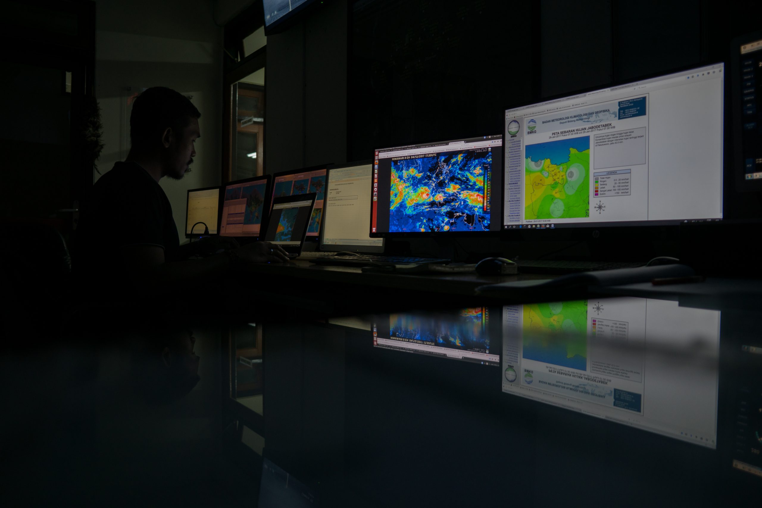
Going further, data visualisation can get the market an immediate handle on emerging events, to help manage losses, price according to changing risk, plan on the ground resources and claims support as climate events unfold.
A picture is worth a thousand words, and this is very true in property insurance thanks to the increasing sophistication of geospatial data visualisation tools specifically for the insurance market.
Solutions such as LexisNexis® Map View offer visibility into risks such as flood, windstorms, fire, subsidence and crime across the whole of an insurance provider’s book of business. It can give insurance providers a clear view of how a book of business could be impacted by flood; where underwriting capacity has been reached; or where they can write more business because they have a granular understanding of the risk.
This technology is helping the commercial property and home insurance industry to assess data and events in much faster time frames. In the past, it might take weeks or months to assess the exposure to an event such as a flood, windstorm, or fire but today’s geospatial data intelligence tools reveal exposures using real-time data.
Live data from the Environment Agency, Met Office and other organisations help insurance providers visualise, track and act on what is happening. They can quickly calculate the levels of exposure and export customer lists to forewarn policyholders to help mitigate damage from the upcoming event.
Files such as storm tracts can be imported easily; zones created to plot the location of policyholders and capacity management tools allow insurance providers to understand where they could sell more business or conversely where they already have a high volume of sums insured.
Of course, data is only useful if it’s useable. Some of the latest enhancements to LexisNexis® Map View were created with this top-of-mind, meaning insurance providers can easily assess and filter both policy and perils data so that the properties with the highest level of risk stand out.
The property insurance market is facing pricing pressures that demand a deeper understanding of risk as climate change, and severe weather events continue to have a significant impact on their loss ratios and how they manage their portfolio.
Insurance-specific geo spatial data visualisation tools can put them in the picture at any time of day or night using near real-time data. It means insurance providers can understand location and property risks at a highly granular level, helping them price with pinpoint accuracy, manage their portfolio and take immediate action to limit their exposures.
[i] https://www.abi.org.uk/news/news-articles/2020/03/insurance-pay-outs-to-help-customers-recover-from-storms-ciara-and-dennis-set-to-top-360-million/
Jonathan Guard, Commercial Director, LexisNexis Risk Solutions