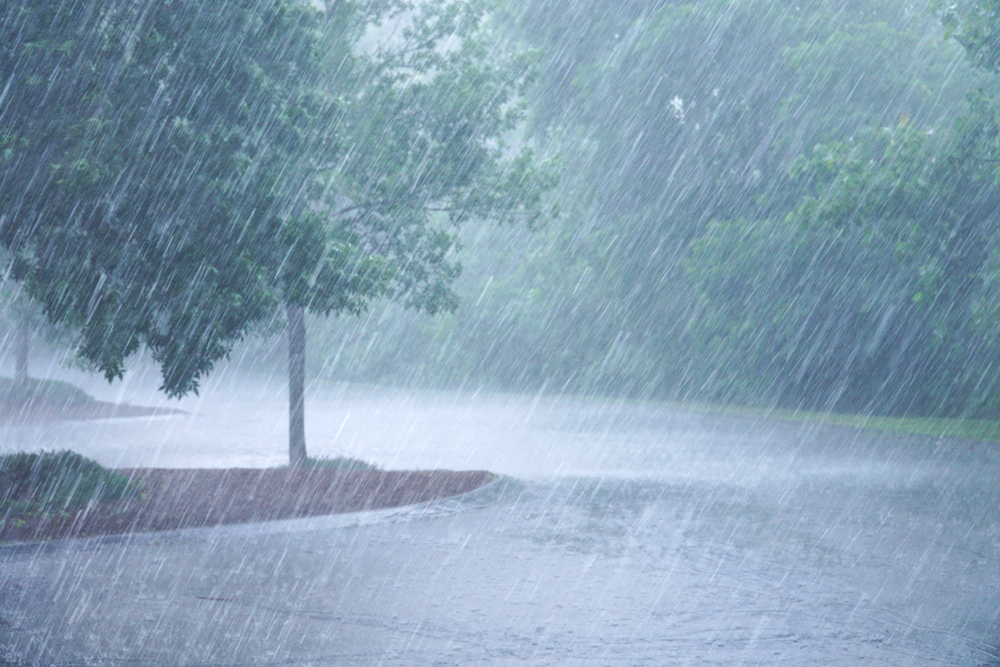
While some parts of the UK have already seen snow this winter, climate change has made a white Christmas a rare occurrence. Instead it’s more likely to be wet, wet, wet with a heavy dose of strong winds.
Mindful of the flooding and storms which impacted the UK in March 2020[i] and how winter 2019/20 was the wettest on record[ii], insurance providers are increasingly turning to ‘live’ data on floods, river flows and windstorms to map, track and act on what is happening in near real-time. This live data is providing a valuable window of opportunity to prepare and protect policyholders, adjust pricing strategies and put the necessary resources in place to manage claims.
In the past, when extreme weather events were relatively uncommon, reinsurance stepped in to provide resilience against losses. However, with the increasing frequency and severity of windstorms, tidal surges and floods, insurance providers are looking for a deeper level of assessment at point of quote and during the lifetime of the policy.
Historical flood events, windstorms and subsidence are now commonly used in pricing models and today’s geospatial data visualisation tools give insurance providers the ability to drill right down to an individual property to understand flood risk based on the footprint and geometry of the building. They can even factor for both the elevation and slope from the nearest water course.
With live data on environmental risks becoming increasingly available, adding a valuable new dimension to the understanding of risk, the market is in a far stronger position to get on the front foot of weather events.
Live data from the Environment Agency, Met Office and other organisations track flood events and this data is being fed directly into the insurance eco-system, enabling insurance providers to make immediate adjustments to their pricing and underwriting in the affected areas based on a comprehensive view of the immediate and future risk.
In flood or a severe storm, the latest mapping technology allows insurance providers to upload their policy data to see where there are accumulations of risk and calculate their exposure. In the past, it may have taken weeks to understand the volume of losses from an extreme weather event, now that calculation can be made instantaneously. Having access to this accurate information can also help in reinsurance submissions.
As the threat of a storm or flood becomes real, the level of exposure can be monitored and calculated based on the anticipated path of flood water or track of the storm. It is even possible to plan different or worst-case scenarios.
Also knowing which policyholders are in the danger zone not only allows insurance providers to issue warnings and advice in good time to mitigate risk (moving furniture to an upper floor, moving cars to a higher elevation or under cover in a storm for example), it helps them to plan for ground resources to support customers during and after the event and flag issues such as road closures which can impact further business interruption claims.
For the fourth consecutive year, extreme weather is considered the top global risk by likelihood over the next ten years[iii] so the reliance on ‘live’ geospatial environmental data amongst insurance providers can only grow. With accurate, ‘live’ data presented in a simple and actionable way, through increasingly sophisticated data visualisation tools, insurance providers are in a much stronger position to support their customers, manage losses and price according to changing risk in real-time.

Richard Toomey, Senior Manager, Commercial Insurance, LexisNexis Risk Solutions UK & I
[i] https://insurance-edge.net/2020/03/07/how-much-did-storms-ciara-dennis-cost-the-insurance-industry
[ii] https://www.metoffice.gov.uk/about-us/press-office/news/weather-and-climate/2020/2020-winter-february-stats
[iii] https://www.zurich.com/knowledge/topics/global-risks/covid-19-creates-perfect-storm-for-this-year-extreme-weather-season